Fathom This! The Ocean's Depth Demystified in Feet

Understanding nautical measurements is crucial for oceanographic studies, and the fathom serves as a primary unit for gauging depth. The National Ocean Service, a key agency within NOAA (National Oceanic and Atmospheric Administration), relies on accurate depth measurements for charting and navigation. A primary concern in maritime activities is determining how deep is a fathom in the ocean, as this measurement directly impacts safety and operational planning. Exploration using sonar technology necessitates precise understanding of depth calculations using fathoms for accurate mapping.

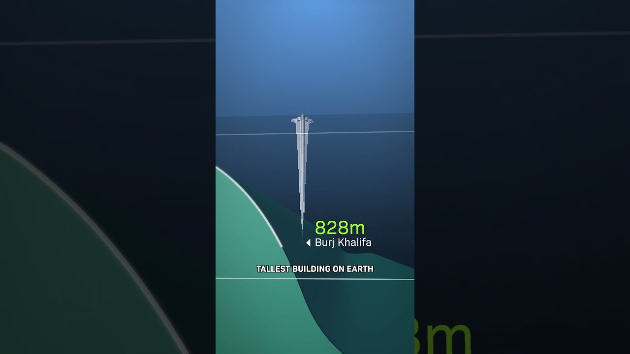
Image taken from the YouTube channel OHPRI , from the video titled ASK US ANYTHING: Finding water depth! Soundings, lead lines, fathoms and more! .
The ocean, a realm of unfathomable mysteries, covers over 70% of our planet. Its depths, largely unexplored, hold secrets that continue to challenge and inspire scientists and explorers alike.
Consider this: the deepest point in the ocean, the Mariana Trench, plunges to a depth of nearly 36,000 feet. That's deeper than Mount Everest is tall.
Measuring such vast distances beneath the surface presents significant technical hurdles. Yet, for centuries, mariners and oceanographers have relied on a traditional unit to gauge these underwater expanses: the fathom.
A Unit Rooted in History
The fathom, a unit of length equaling six feet, has deep historical roots in seafaring and navigation.
Its origins are practical, stemming from the distance between a sailor's outstretched arms. This human-scaled measurement provided a tangible way to assess water depth, especially in shallow coastal waters.
Demystifying the Fathom
This article aims to demystify the fathom, exploring its historical context, its relationship to modern measurement techniques, and its enduring relevance in understanding the ocean's depths. We will examine how this seemingly archaic unit continues to play a role in navigation, marine biology, and the interpretation of historical maritime records.
By understanding the fathom, we gain a deeper appreciation for the challenges of ocean exploration and the ingenuity of those who first sought to measure its hidden dimensions.
The humble fathom, then, offers a unique lens through which to view our relationship with the ocean. But before we can fully appreciate its enduring relevance, it's crucial to understand what a fathom is, where it came from, and how it fits into the broader system of nautical measurement.
Defining the Fathom: History and Measurement
At its core, the fathom is a unit of length, specifically defined as equal to six feet. This seemingly simple definition unlocks a wealth of historical and practical significance, deeply intertwined with the evolution of seafaring and navigation.
A Unit Born of Practicality
Unlike more abstract or mathematically derived units of measurement, the fathom boasts an origin rooted in the tangible experience of sailors.
The most widely accepted theory suggests that the fathom represents the distance between the outstretched arms of a typical adult male.
This human-scaled measurement provided a ready means of estimating water depth, particularly in the critical shallow waters near coastlines and harbors.
Imagine a sailor on a small boat, casting a weighted line overboard. The length of line pulled out, measured roughly by arm spans, would give an immediate indication of the depth, allowing for safer navigation.
From Arms to Charts: The Fathom's Journey
While the concept of measuring depth with outstretched arms likely predates recorded history, the formalization of the fathom as a standardized unit occurred gradually.
As maritime trade and exploration expanded, the need for consistent measurements became increasingly important.
Nautical charts, essential tools for navigation, began to incorporate depth soundings marked in fathoms, providing crucial information to mariners charting unfamiliar waters.
The consistent use of the fathom on these charts cemented its place as a standard unit within the maritime world.
The Fathom and the Nautical Family
The fathom doesn't exist in isolation. It's part of a family of nautical units, each designed to address specific measurement needs at sea.
Perhaps the most well-known relative is the nautical mile, a unit of distance approximately equal to one minute of latitude along a meridian.
While the nautical mile is used to measure distances, the fathom focuses specifically on depth. Understanding the relationship between these units provides a more complete picture of maritime measurement.
Six thousand and seventy-six feet, equivalent to approximately 1.15 statute miles, defines a nautical mile.
The relationship to the fathom unit is that 1012.67 fathoms define a nautical mile.
While seemingly unrelated, both the fathom and the nautical mile are rooted in the practical needs of seafaring and the desire to create a standardized system for navigating the world's oceans.
Measuring the Abyss: From Weighted Lines to Sonar Technology
The humble fathom, then, offers a unique lens through which to view our relationship with the ocean. But before we can fully appreciate its enduring relevance, it's crucial to understand what a fathom is, where it came from, and how it fits into the broader system of nautical measurement.
Of course, knowing what a fathom is only gets us so far. The next logical question is: how do we use it? How, historically and today, have we put this unit into practice to map the hidden landscapes beneath the waves?
Sounding the Depths: The Weighted Line
For centuries, the primary tool for measuring ocean depth was remarkably simple: a weighted line. This "sounding line," as it was often called, consisted of a long rope or line with a weight attached to one end.
The line was carefully marked at regular intervals, often in fathoms. Sailors would lower the weighted line until it reached the sea floor.
By noting the number of marked intervals that had submerged, they could determine the depth of the water at that location. This process, known as "sounding," was a slow and painstaking endeavor.
Navigators would meticulously record these soundings on charts, creating a growing understanding of underwater topography. The accuracy of these early charts depended heavily on the skill and diligence of the sailors performing the soundings.
Despite its limitations, the weighted line remained the standard method of depth measurement for hundreds of years. It was an essential tool for safe navigation.
The Sonar Revolution: Mapping the Ocean Floor with Sound
The 20th century brought about a revolution in ocean depth measurement with the invention of sonar, or Sound Navigation and Ranging. Sonar technology utilizes sound waves to "see" beneath the surface of the water.
Unlike the slow and localized measurements of the weighted line, sonar allows for rapid and comprehensive mapping of the ocean floor. Sonar systems work by emitting pulses of sound into the water.
These sound waves travel until they encounter an object, such as the sea floor, at which point they are reflected back toward the sonar source.
By measuring the time it takes for the sound wave to travel to the object and back, and knowing the speed of sound in water, the system can calculate the distance to the object.
This process is repeated continuously, creating a detailed profile of the ocean floor. Sonar technology has evolved significantly since its early days.
Modern sonar systems can generate high-resolution 3D maps of the ocean floor, revealing previously unknown underwater features such as seamounts, canyons, and trenches.
Multibeam sonar, in particular, is capable of collecting data over a wide swath of the seafloor, dramatically increasing the efficiency of ocean mapping efforts.
Beyond Sound: Satellite Altimetry and Other Technologies
While sonar remains a cornerstone of ocean depth measurement, other technologies are also playing an increasingly important role.
Satellite altimetry, for example, uses radar pulses to measure the height of the sea surface.
Because the sea surface is slightly deformed by the gravitational pull of underwater features, satellite altimetry can be used to infer the shape of the ocean floor.
This technique is particularly useful for mapping large areas of the ocean, including remote and inaccessible regions.
Other technologies, such as autonomous underwater vehicles (AUVs) and remotely operated vehicles (ROVs), are also being used to collect data about the ocean floor.
These vehicles can be equipped with a variety of sensors, including sonar, cameras, and other instruments.
They can operate in deep water and other challenging environments, providing valuable insights into the ocean's depths.
The combination of these technologies is transforming our understanding of the ocean floor.
Scientists are now able to create detailed maps of underwater landscapes, study the geology and biology of the deep sea, and monitor changes in the marine environment.
Despite the advent of sophisticated sonar technology and satellite-based mapping, the fathom has not entirely faded into obsolescence. Its continued presence, albeit often subtle, speaks to its deep-rooted legacy and ongoing utility in specific domains. So, where does the fathom still surface, and why does understanding this seemingly archaic unit of measurement still matter today?
The Enduring Relevance: Why Fathoms Still Matter Today
Fathoms in Navigation and Charting: A Lingering Legacy
While modern nautical charts increasingly favor meters for indicating depth, fathoms stubbornly persist, especially in certain regions and within specific chart formats. This is not simply a matter of tradition, although tradition certainly plays a role.
Older charts, many of which are still in use, often display soundings in fathoms. Navigators accustomed to these charts may find it easier to continue using fathoms rather than converting to metric units on the fly.
Furthermore, some specialized charts, particularly those focusing on specific historical areas or used by traditional seafaring communities, may deliberately retain fathoms as their primary unit of depth.
Deciphering the Past: Maritime History and Archival Documents
Perhaps the most compelling reason to understand fathoms lies in its crucial role in interpreting historical nautical documents. Countless logbooks, journals, and maritime records from centuries past meticulously recorded depths in fathoms.
To accurately understand these historical accounts, whether for academic research, genealogical investigations, or simply satisfying one's curiosity, a working knowledge of fathoms is indispensable.
Imagine trying to reconstruct a historical shipwreck site or analyze the navigational choices of a 19th-century captain without understanding the units of measurement they employed. The task would be virtually impossible.
Understanding fathoms is therefore essential for maritime historians, archaeologists, and anyone seeking to delve into the rich tapestry of nautical history.
The Fathom and Marine Biology: Understanding Habitat
The ocean’s depths influence the distribution and behavior of marine life. Even today, fathoms provide an accessible reference point.
While scientific research increasingly relies on precise metric measurements, the fathom can still offer a useful shorthand for describing the approximate depth ranges of different marine habitats.
For instance, one might say that certain species of deep-sea coral are typically found at depths of over 100 fathoms, providing a quick and easily understandable indication of their preferred environment.
Similarly, discussions about the optimal depth for certain types of fishing or aquaculture may also reference fathoms, particularly when communicating with individuals or communities familiar with this unit.
In conclusion, the fathom remains relevant for those working in marine science, conservation, or resource management.
Video: Fathom This! The Ocean's Depth Demystified in Feet
Fathom This! Ocean Depth FAQs
Here are some frequently asked questions to help clarify the concept of fathoms and their use in understanding ocean depths.
What exactly is a fathom?
A fathom is a unit of length primarily used to measure the depth of water. One fathom is equal to six feet. This makes it easy to get a sense of scale when reading about the ocean's depths.
Why is the fathom still used to measure ocean depth?
Despite metric measurements becoming more common, fathoms remain prevalent in nautical contexts due to historical usage and international maritime conventions. Many nautical charts and instruments still display depths in fathoms or feet. The question, therefore, isn't really why but that it is.
Can you convert fathoms to feet and meters easily?
Yes. One fathom is equal to six feet. So, to convert fathoms to feet, simply multiply the number of fathoms by six. Converting to meters requires converting feet to meters using the conversion factor: 1 foot ≈ 0.3048 meters. If you are wondering how deep is a fathom in the ocean, it's six feet, or approximately 1.83 meters.
How deep is the deepest part of the ocean in fathoms?
The deepest part of the ocean, the Mariana Trench, is roughly 6,000 fathoms deep. This is equivalent to about 36,000 feet or approximately 11,000 meters below sea level. A measurement of 6,000 fathoms truly shows the vastness of the ocean.